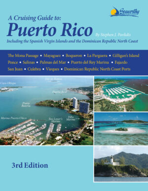
A Cruising Guide to Puerto Rico Including the Spanish Virgin Islands

The new, 3rd edition of The Cruising Guide to Puerto Rico by Stephen Pavlidis is now available!
Read More

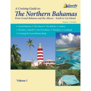
A Cruising Guide to the Northern Bahamas

By Stephen Pavlidis, this guide covers Grand Bahama, the Abacos, Biminis, Andros, the Berry Islands, New Providence, Eleuthera, Cat Island and crossing the Great Bahama Bank. The many color charts, photos and loads of current local knowledge make this a must-have guide. **Please contact us for availability before purchasing**
Read More

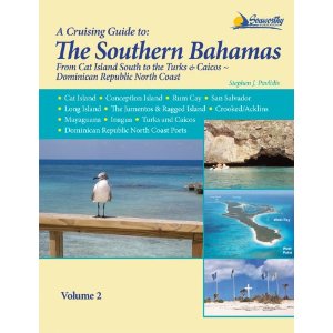
A Cruising Guide to the Southern Bahamas, Vol. 2

By Stephen Pavlidis, this guide details the waters around Cat and Conception Islands, Rum Cay, San Salvador, Long Island,the Jumentos & Ragged Island, Mayaguana, Inagua, the Turks and Caicos as well as Dominican Republic north coastal ports. Includes color charts!

**Please contact us for availability before purchasing**

Read More

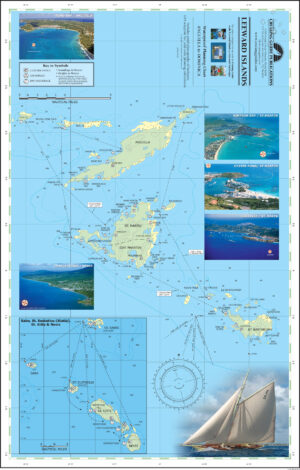
A Waterproof Planning Chart of the Leeward Islands

Printed on two sides this new chart includes the Leeward Islands from Anguilla to Dominica, covering Anguilla, St. Martin & Sint Maarten, St. Barts, Saba, Statia, St. Kitts, Nevis, Redonda, Montserrat, Antigua, Barbuda, Guadeloupe, Marie Galante, the Saintes, and Dominica. The chart includes anchorage and mooring locations as well as GPS coordinates, sailing routes and distances between waypoints. The waterproof chart is excellent for the cockpit and attractive enough to hang on the wall when you get home.

Read More

A Waterproof Planning Chart of the Virgin Islands

Printed on two sides this new chart includes the U.S. & B.V.I. from St. Thomas to Anegada, including anchorage and mooring locations as well as GPS coordinates, sailing routes and distances between waypoints. The waterproof chart is excellent for the cockpit and attractive enough to hang on the wall when you get home. Designed for use with The Cruising Guide to the Virgin Islands, this planning chart is a duplicate of the one you receive in the guide with the exception of being waterproof.

23" x 17"

Read More

AB001 – Great Abaco & Cays Chart

Waterproof Chart, folded

"A single-sheet colour chart of Abaco and its Cays including waypoints and suggested courses. Companion chart for The Cruising Guide to Abaco, Bahamas. Provides excellent overview of entire cruising area. Walker’s Cay to Hole-in-the-Wall on side one; and Florida to Abaco on side two. Also 16 insert charts of harbours and other areas."

Dimensions: 27" x 30"

Read More

Cruising Guide to Trinidad & Tobago Plus Barbados and Guyana, 2013

Trinidad, Tobago, Barbados and Guyana are fast becoming the most popular destinations for cruising yachtsmen in the Caribbean.  This new edition is the most comprehensive of its type published for this area. 

Read More