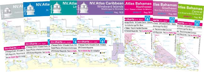
A full line of highly accurate nautical charts and pilots from Florida to the Eastern Caribbean including the Bahamas and Cuba


Cruising Guide Publications is the sole distributor for NV Charts in both the USA, Canada and the Caribbean since 2019.
For more than 35 years Nautical Publications (NV Charts) have been producing high quality charts of the Baltic Sea, European Inland Waters, the Mediterranean, Caribbean and the Bahamas including Florida’s East Coast. Specifically designed for yachtsmen, NV Charts are characterized by fine line contours and easy to distinguish color graduations of the depth lines. Presented in a handy, user friendly size ( 23-1/2” x 16-1/2”) a thick plastic envelope protects the charts and enables them to be stored. Large and small scale charts are included by area along with a pilot book and electronic key to enable the downloading of an electronic version for use with a digital plotter. A free NV Chart app is also available for use on mobile phones and tablets.
NV Charts are regarded by charter fleets, recreational sailors, and professional mariners as the authoritative Caribbean nautical charts and are used by the US Coast Guard from Miami to Grenada. NV Charts offer greater accuracy, detail, updates, and reliability than any other cartography covering the Bahamas, Puerto Rico, Virgin Islands, Leeward Islands and Windward Islands.
- Reg: 8.1 Florida N
- Reg: 8.2 Florida E
- Reg: 8.3 Florida SE
- Reg: 8.4 Florida S
- Reg: 9.1 Bahamas NW
- Reg: 9.2 Bahamas Central
- Reg: 9.3 Bahamas SE
- Reg: 10.1 Cuba NE
- Reg: 10.2 Cuba NW
- Reg: 10.3 Cuba SW
- Reg: 10.4 Cuba SE
- Reg: 11.1 Dominican Republic and Puerto Rico
- Reg: 12.1 Virgin Islands
- Reg: 12.2 Leeward Islands
- Reg: 12.3 Windward Islands
