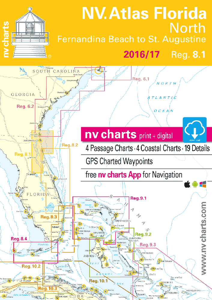
NV Atlas Florida 8.1: North, Fernandina Beach to St. Augustine
$58.95
2016-2017 edition
NV Charts Reg. 8.1, Florida, North, Fernandina Beach to St. Augustine
Format: Kombipack Paper / Digital download and App
- Digital charts download
- Coastal Charts
- Passage Charts
- Details
- GPS Charted Waypoints & Approaches
Practical to use and accurate in the information and data published. This is the basic concept with which we have developed the nv-charts.
In stock
Description
2016-2017 edition
NV Charts Reg. 8.1, Florida, North, Fernandina Beach to St. Augustine
Format: Kombipack Paper / Digital download and App
- Digital charts download
- Coastal Charts
- Passage Charts
- Details
- GPS Charted Waypoints & Approaches
Practical to use and accurate in the information and data published. This is the basic concept with which we have developed the nv-charts.
- this Chart Kit is based on NOAA data with a new layout, clear cartography and international chart standards
- depths and heights are charted in feet
- north up chart orientation
- channel markers in red and green
- unique color differences, blue for the 6 ft and 18 ft depths, and green for exposed tidal areas
- contour lines for 12ft and 30ft depths
- underwater reefs are clearly marked with a light green color and the reef above water in darker green
- variable shoals marked in grey-blue
- lighthouses illustrate their light characteristics for better identification
- seaworthy chart layout – perfect chart flow from one chart to the next
- standardized chart scales – passage charts 1:340,000 – coastal charts 1:45,000 and detail charts 1:25,000 or less
- waypoints with latitudes and longitudes for GPS input
- recommended courses with distances
- arrow-symbols show buoyage direction
- tide information on each chart
Passage Charts
- C0 Caribbean Sea 1: 6,500,000
- C1 Florida North 1: 1,300,000
- C2 Brunswick to St. Augustine 1: 340,000
- C3 St. Augustine to Cape Canaveral 1: 340,000
Coastal Charts
- C4 St. Marys Entrance · Fernandina Beach 1: 40,000
- C5 Fernandina Beach to Nassau River 1: 40,000
- C6 Nassau River to St. Johns River 1: 40,000
- C7 St. Johns River to 202 Rd. Bridge 1: 40,000
- C8 202 Rd. Bridge to Pine Island 1: 40,000
- C9 Pine Island to St. Augustine 1: 40,000
- C10 St. Augustine to Cescent Beach 1: 40,000
- C11 Jacksonville 1: 40,000
- C12 Jacksonville · South 1: 40,000
- C13 Fleming Islands 1: 40,000
- C14 Green Cove Springs 1: 40,000
- C15 Bridgeport 1: 40,000
- C16 Palatka 1: 40,000
- C17 Crescent Lake 1: 40,000
- C18 Welaka to Lake George 1: 40,000
- C19 Lake George 1: 40,000
- C20A Volusia · Lake Dexter Beresford 1: 40,000
- C20B Volusia · Lake Dexter Beresford 1: 40,000
- C21 Deltona · Lake Monroe 1: 40,000
- C22 Lake Jesup · Lake Harney 1: 40,000
Details
- C23A St. Johns River Entrance 1: 20,000
- C23B St. Augustine 1: 20,000
Cruising Information · Harbor Pilot p.24-26
Introduction · Weather · Nature Information p.24-26
Legend · Notes p.27/28
Additional information
| Weight | 2 lbs |
|---|---|
| Dimensions | 17 × 12 × 0.2 in |