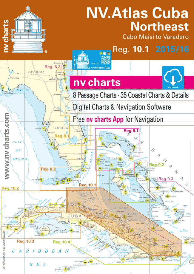
NV Atlas Cuba 10.1: Northeast, Cabo Maisi to Varadero
$108.95
2015-2016 edition
Format: Kombipack paper / digital and app
NV Charts • Reg. 10.1: Cuba Northeast • Cabo Maisi to Varadero
In stock
Description
2015-2016 edition
Format: Kombipack paper / digital and app
NV Charts • Reg. 10.1: Cuba Northeast • Cabo Maisi to Varadero
- Includes Harbor & Anchorage Charts
- 8 Passage Charts – 35 Coastal Charts
- GPS Charted Waypoints – 23 Approaches
- Size [Closed] H (16.5″) x W (11.7″)
The NV Charts are characterized by fine contours and easy to distinguish color graduations of the depth lines – turquoise for coral reefs, red for the 2-meter-line and blue for the 5-m-areas. Presented in a handy, user friendly size, a thick plastic envelope protects the charts, enabling them to be easily stored.
The importance of good graphical representation of the topography when sailing in the Caribbean is essential. Well marked rivers, towns and street plans all help to give a clear overall view of the shoreside facilities of the islands.
Red numbered waypoints with coordinates based on WGS 84 enable yachtsmen to navigate using their GPS instruments. Heights and depths are given in the internationally accepted format of meters. Large scale approaches and land contour markings simplify the entrance into anchorages.
Passage Charts
- C0 Caribbean Sea 1: 6,500,000
- C1 Cuba Central Northeast 1: 900,000
- C2 Cuba Northeast 1: 900,000
- C3 Varadero to Cayo Fragoso 1: 340,000
- C4 Cayo Fragoso to Cayo Paredón Grande 1: 340,000
- C5 Cayo Paredón Grande to Pta. Maternillos 1: 340,000
- C6 Pta. Maternillos to Bahía de Nipe 1: 340,000
- C7 Bahía de Nipe to Pta. Maisí 1: 340,000
Coastal Charts
- C8 Varadero to Cayo Bahía de Cádiz 1: 140,000
- C9 Cayo Bahía de Cádiz to Cayo La Vela 1: 140,000
- C10 Cayo La Vela to Cayo Francés · Caibarien 1: 140,000
- C11 Cayo Francés to Cayo Guillermo 1: 140,000
- C12 Cayo Guillermo to Cayo Coco 1: 140,000
- C13 Cayo Coco to Cayo Mégano Grande 1: 140,000
- C14 Cayo Mégano Grande to Pta. Arenas 1: 140,000
- C15 Pta. Arenas to Bahía de Manatí 1: 140,000
- C16 Bahía de Manatí to Pta. Mangles 1: 140,000
- C17 Pta. Mangles to Cabo Lucrecia 1: 140,000
- C18 Cabo Lucrecia to Pta. Resbalosa 1: 140,000
- C19 Pta. Resbalosa to Baracoa 1: 140,000
Approaches & Details
- C20 Varadero 1: 60,000
- C21A Canal de Paso Malo 1: 20,000
- C21B Marinas Chapelin & Gaviota 1: 20,000
- C21C Puerto Caibarien 1: 40,000
- C21D Cayos Falcones 1: 40,000
- C22 Cayo Cristo to La Isabela 1: 60,000
- C22A Cayo Francés 1: 60,000
- C22B Canal de los Barcos 1: 20,000
- C23 Bahía de Nuevitas 1: 40,000
- C24A Bahía de Manatí 1: 40,000
- C24B Bahía de Vita 1: 15,000
- C25 Bahía de Puerto Padre 1: 40,000
- C25A Ensenada Taco 1: 25,000
- C25B Bahía de Mata 1: 25,000
- C25C Puerto de Baracoa 1: 15,000
- C26 Bahía de Naranjo 1: 25,000
- C26A Bahías de Bariay & Jururú 1: 25,000
- C26B Puerto Gibara 1: 25,000
- C26C Bahía de Samá 1: 25,000
- C27 Bahía de Banes 1: 25,000
- C28 Bahías de Nipe & Levisa 1: 60,000
- C29 Bahía Sagua de Tánamo 1: 25,000
- C30 Bahía de Cayo Moa 1: 40,000
Additional information
| Weight | 3.5 lbs |
|---|---|
| Dimensions | 17 × 12 × 0.2 in |